Photo Gallery
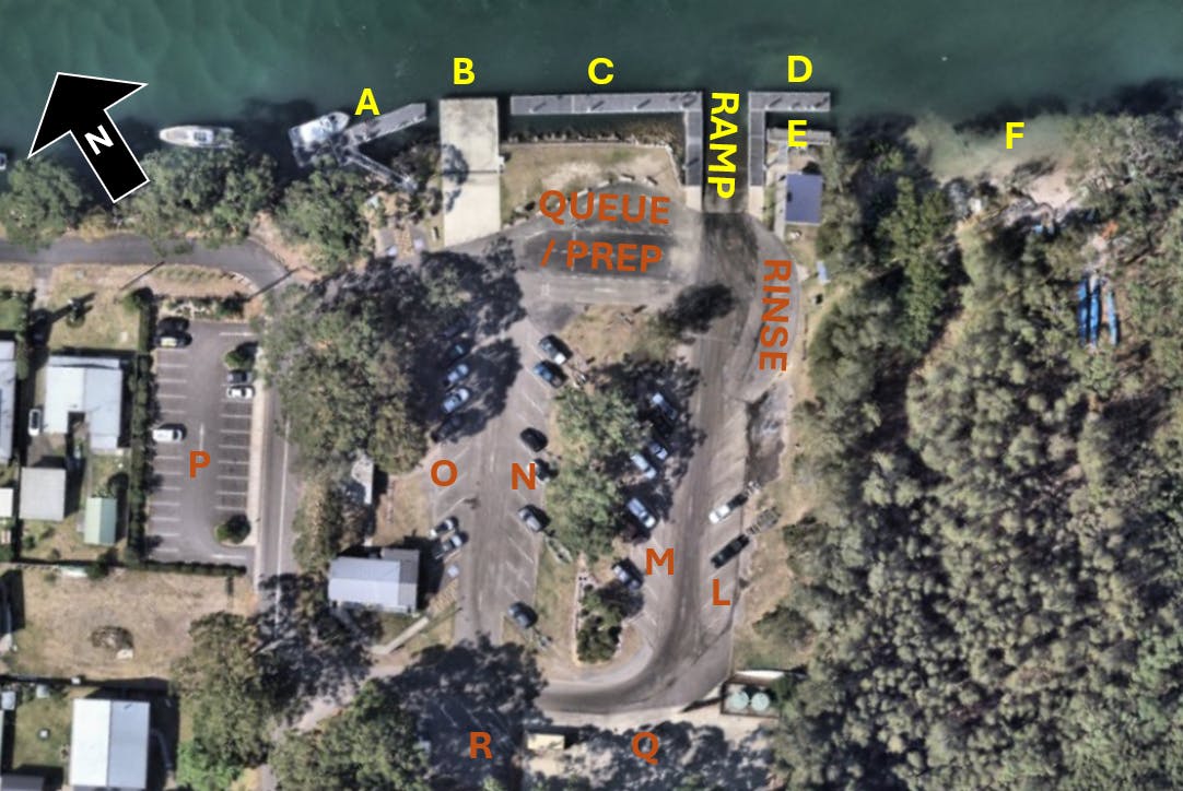
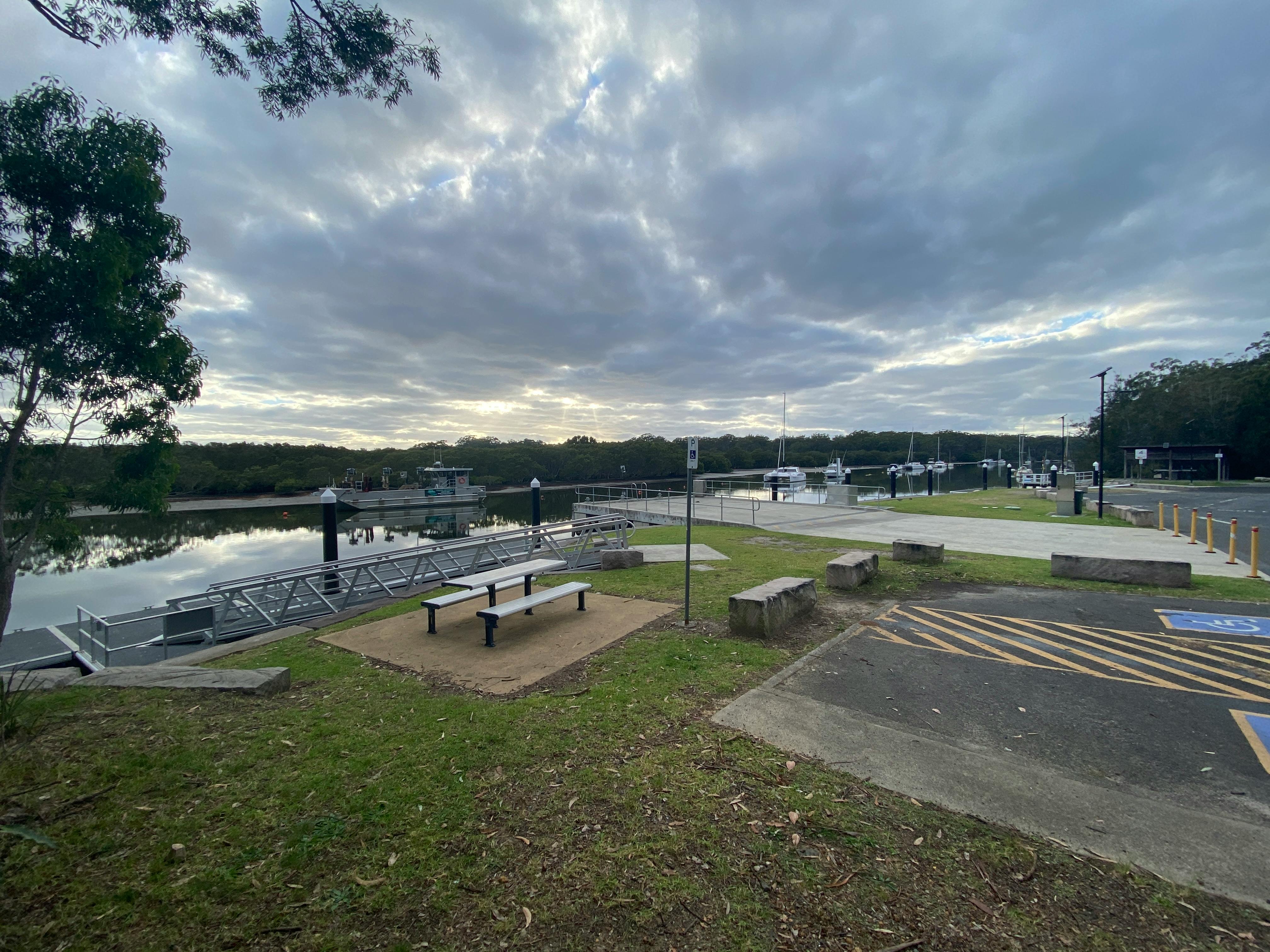
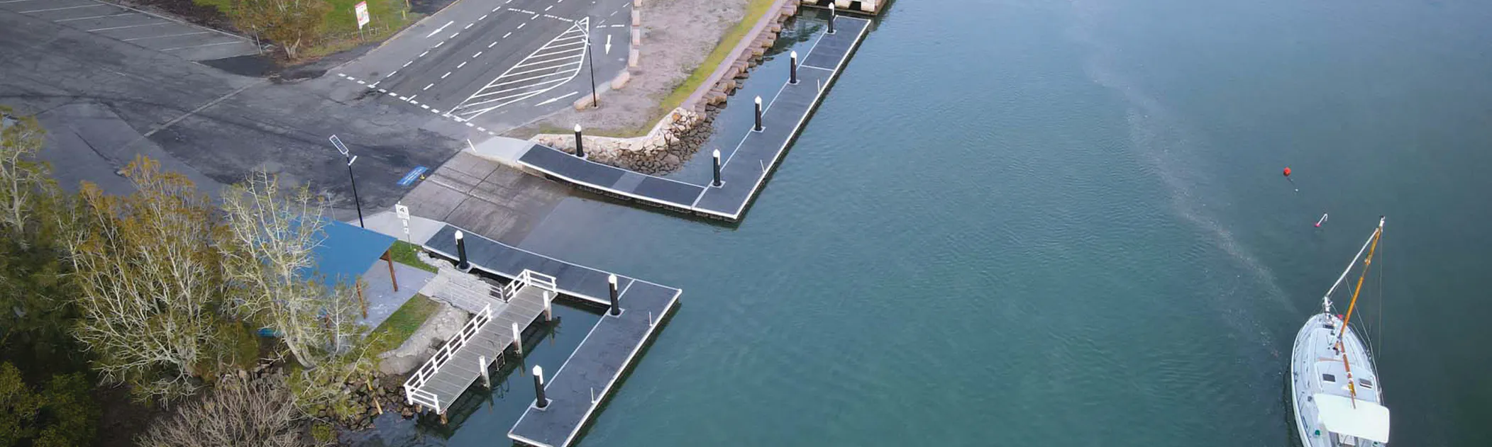
Waterfront facilities:
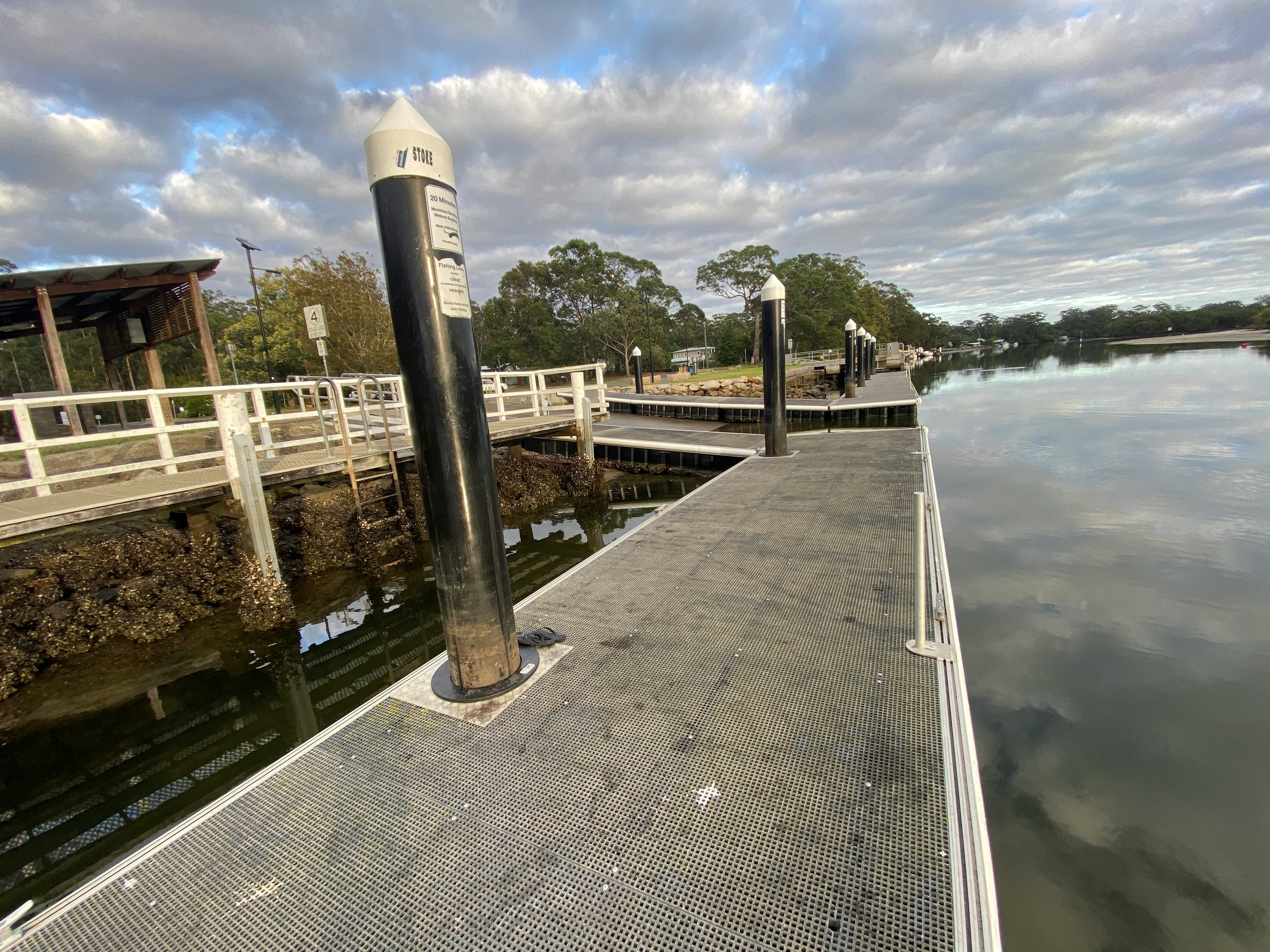
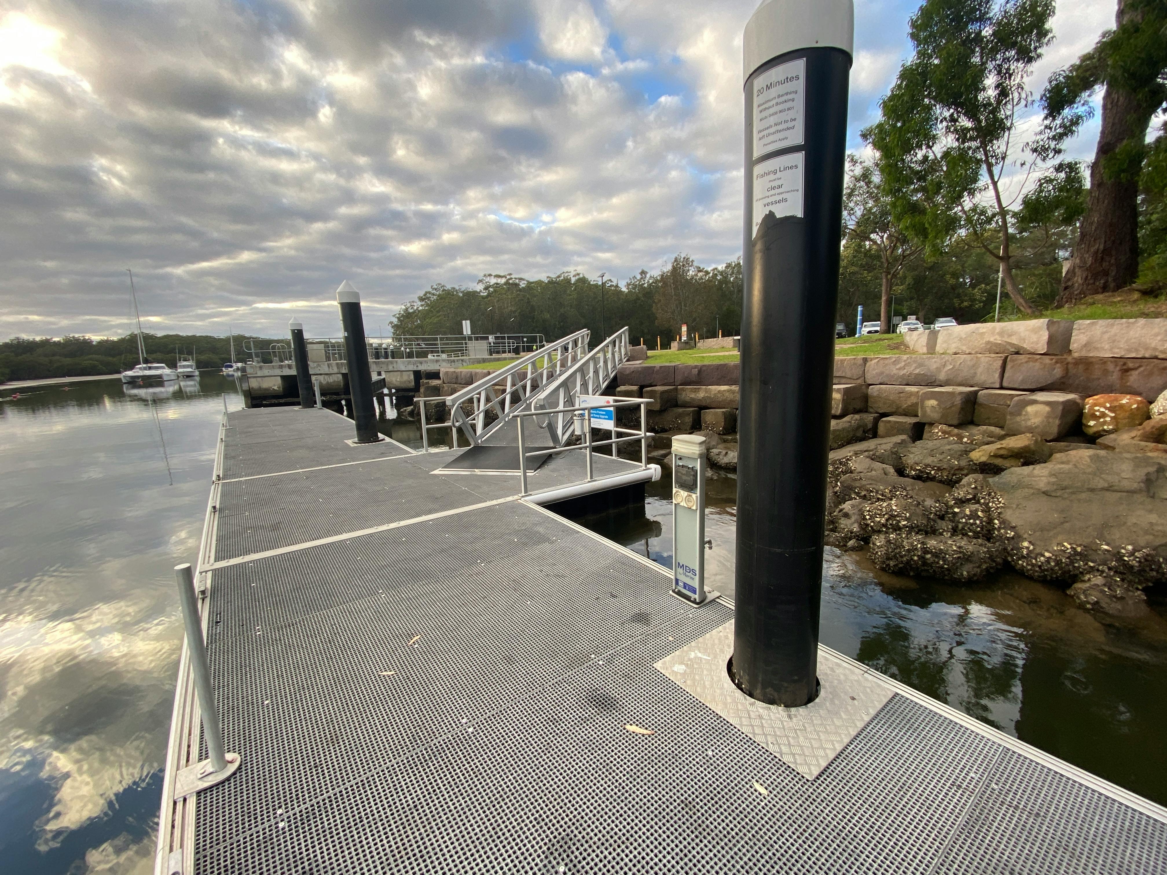
A - Floating pontoon with power and water.
B - Medium duty concrete wharf, with power, water and blackwater pump-out facilities.
C & D - Floating pontoon wharfs.
E - Timber wharf.
F - Beach / foreshore area accessible via footbridge
Ramp - Two lane boat ramp with adjacent floating pontoons.
Landside facilities:
Queue / prep area - Space for vehicles to queue and prepare boats and trailers for launch / recovery of vessels
Rinse - Area for vehicles / boats to rinse following recovery from water without obstructing ramp.
L-O - Parking area for vehicles with boat trailers. O includes approximately four parking spaces currently occupied by fishing club house.
P - Parking area for vehicles without trailers
Q - Concrete fenced hardstand area with multiple power and water access points and provision for collection of water runoff.
R - Additional parking area suitable for vehicles with trailers.