FAQ
What urban areas does the St Georges Basin floodplain include?
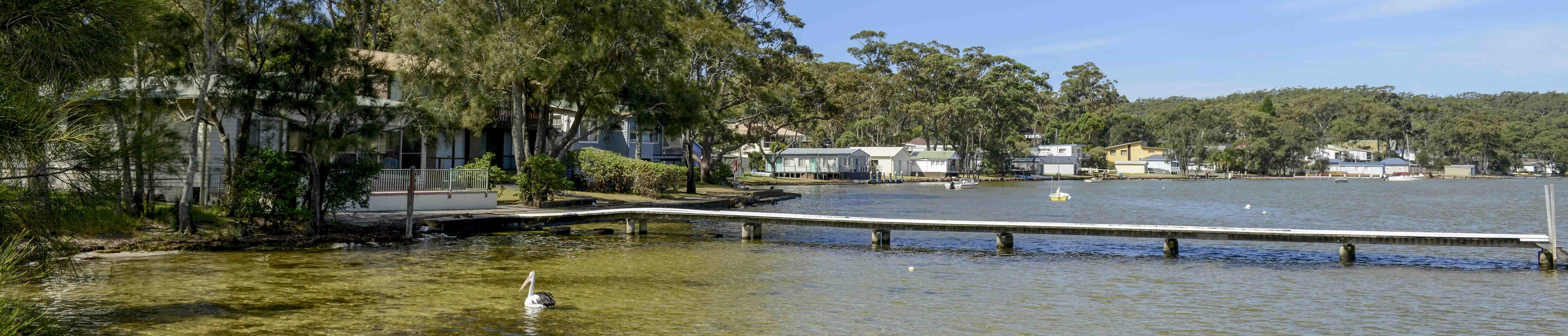
The major townships within the study area are - St Georges Basin, Sussex Inlet, Sanctuary Point, Basin View, Badgee, Erowal Bay, Bream Beach, Wrights Beach, Riviera Keys Canal, Old Erowal Bay, Wandandian and Tomerong.
The catchment area itself is 315.8 km2 essentially draining areas east of Braidwood Road and the Estuary area is 40.9 km2 with a permanently open entrance at the mouth of Sussex Inlet.
The surface area of the Basin is 37 km2, which is approximately 10% of the total catchment area.
The catchment area of the Basin contains a number of creeks and some of the main creeks are Wandandian Creek, Tomerong/Cockrow Creek, Cow Creek, Tullarwalla Creek and Warrowing Creek.
The Basin connects to the ocean through the Sussex Inlet Channel and there are no recorded periods of closure of the basin’s entrance.
What is a Flood Study?
A flood study is a technical project that identifies flood behaviour such as depth, velocity and extent across the floodplain for a wide range of flood events. It aims to provide an understanding of the full range of flood behaviour and their consequences in the study area. It involves consideration of the local flood history, available flood data, and the development of hydrologic (rainfall and runoff estimations) and hydraulic (motion of stormwater runoff) models. Where possible, models are calibrated and verified against historic flood events and then extrapolated to estimate the full range of potential flood events.
What is a Floodplain Risk Management Study and Plan?
A Floodplain Risk Management Study utilises the flood intelligence developed in a flood study to investigate possible mitigation options to reduce flood damage (impacts) and to manage flood risk. It allows for testing and investigating practical, feasible and economic management measures, including structural and non-structural measures, to treat existing, future and residual flood risk. The Floodplain Risk Management Study will provide a basis for informing the development of a Floodplain Risk Management Plan.
The Floodplain Risk Management Plan will document the decisions on the management of flood risk within the floodplain into the future. The Plan will outline a range of measures to manage risk effectively and efficiently, using the investigations undertaken as part of the Floodplain Risk Management Study. This will include a prioritised implementation strategy, which will detail how measures should be implemented.
How will this study impact me?
The objective of this study is to better inform flood risk management for property owners and publicly managed community assets. The overall goal is to increase community safety while mitigating damages from flooding to private and public assets.
This study will create flood intelligence for the NSW SES to plan and respond to flood events, develop an implementation plan for flood mitigation measures within the floodplain, and provide information to the community to improve their resilience during flood events.